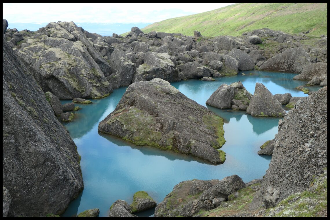
Stórurð
A wonderful hike in spectacular surroundings, a hidden gem (for now, at least).
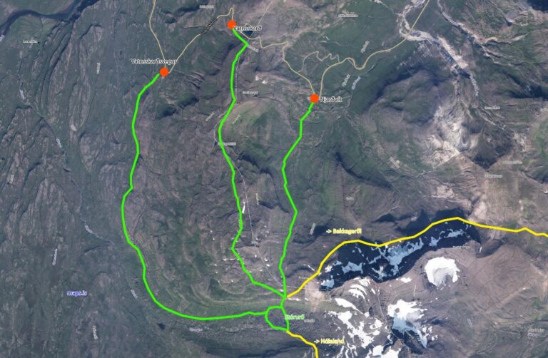
Stórurð is located in the most eastern part of the country. The starting points of the hike are around the pass Vatnsskarð eystra on road 94 Borgarfjarðarvegur between Egilsstaðir and the fjord Borgarfjörður eystri. There are three car parks to start from:
- Vatnsskarðsvegur (65.557465, -14.030546), from here the route is 7.1 km long and takes about 2.5 hours. This is the easiest route and leads directly into the lower plains of Stórurð on a flat path.
- Vatnsskarð pass (65.564758, -14.001950), there are two small huts with information and a toilet. The challenging route is 7.7 km long, inclines steep at the beginning and then goes along the Geldingafjall ridge. It offers a wonderful view of the surroundings but should only be walked in good weather.
- Njarðvík (65.552020, -13.970720), from this parking lot the hike is a moderate climb for 5.5 km. It is the shortest route and takes almost 2 hours. During my visit I chose this route.
Please be aware that the pass is relatively high at 431 meters above sea level, there is often snow for a long time and the hike can be difficult or impossible in this case. The best time is therefore from mid-July to the end of August.
Here is the link to the hiking map of the region.
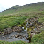
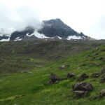
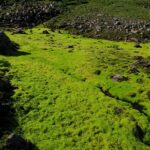
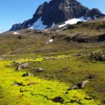
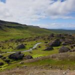
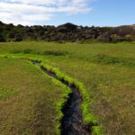
A footpath leads from the parking lot through a wonderfully green heath landscape. The path climbs gently, occasionally hikers can be seen on the upper route (Vatnsskarð pass summit). It’s really easy to follow the path; it goes along the slope directly towards the black mountains of Dyrfjöll, yellow markings show the way. As you walk, you cross dozens of small streams, sturdy shoes are certainly not wrong. But you will be rewarded with extremely neon-green moss, it’s beautiful! You can also look back once in a while and, in good weather, see the opposite rhyolite mountains Sönghofsfjall and Grjótfjall.
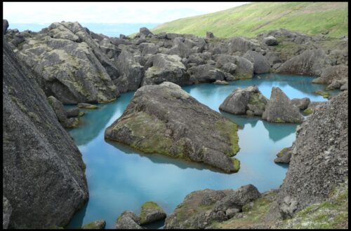
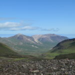
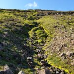
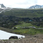
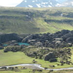
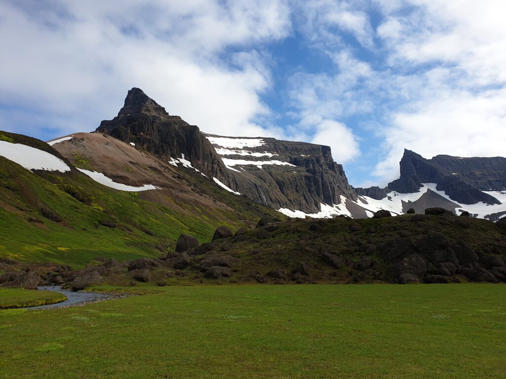
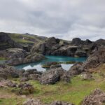
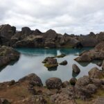
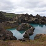
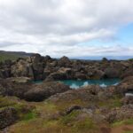
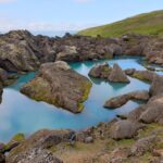
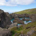
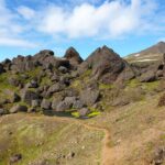
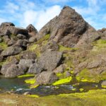
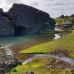
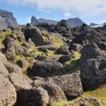
After a good hour, the terrain becomes rockier, maybe you have to cross a small snow field. After a last part over stone slabs, the view over the valley suddenly opens up, an amazing sight! The huge boulders in the plain enclosing a steel blue lake and a small river flowing through the meadow… a truly spectacular place!
Formed by massive volcanic eruptions, the area’s mountains are around 12 million years old, making it one of the oldest parts of Iceland, with the highest peak over 1100m. The ice age around 10,000 years ago covered the area with glaciers. When these receded, the landslide happened and the huge rocks were carried further into the plain and to their present location over time by the movement of the ice. The site of the rockfall is clearly visible as an incision, which is why the mountain range is called Dyrfjöll = “door mountains”.
This is followed by what is probably the most strenuous part, 100 meters steeply downhill. Once you have reached the lower level, you cross the stream and look for a place to rest, eat and enjoy between the huge rocks. Strengthened, you walk around the lake where you’ll come across amazing rock formations and colors. There is also a guest book to write in. For this circle you need about 45 minutes.
There are now several ways to go back. Either you climb the steep part again and follow the same path you came or choose one of the other two, but then you have to walk between 2-4.5 km along the road to the car, which is not entirely safe. And there are even more options: a 9.5 km route leads to Bakkagerði and a 12 km route to the farm Hólaland, from where transport back to the car at one of the parking lots would then have to be arranged. Of course you can also start from this direction and end the hike at the road after a stop at Stórurð.
I was back at my starting point in Njarðvík after a little over 5 hours. It is then a 20-minute drive to Bakkagerði or just under an hour back to Egilsstaðir. I am absolutely thrilled with this hike, it is easy to manage and leads to an extraordinary and unique landscape that has so far been spared from the crowds. Highly recommended!


You May Also Like
